FLOOD ZONE DETERMINATIONS FOR THE INSURANCE INDUSTRY
CUSTOMIZED TO MEET YOUR NEEDS
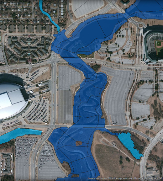
Get the most current Flood Zone Determination with all the available FEMA flood hazard information.
FLOOD ZONE DETERMINATIONS
Basic Flood Determination
A guaranteed flood zone determination (FZD) that provides all the required FEMA flood map and community participation status information.
Life of Loan Flood Zone Determination
A guaranteed FZD that provides all the required FEMA flood map and community participation status information. The FZD is monitored for FEMA flood map revisions and community participation status changes for the term of the loan to maintain compliance with federal regulations and secondary market guidelines. Additionally, SLF's life of loan FZDs are transferable between servicers.
A borrower’s notification letter is included with a FZD for properties located in a Special Flood Hazard Area (SFHA).
FLOOD ZONE DETERMINATION OPTIONS
Basic Flood Zone Determination w/ Base Flood Elevation
Flood Zone Determination includes FEMA map information, Flood Zone, BFE, NFIP status and entry date. Also provided is Census Tract data, Coastal Barrier Resource Area (CoBRA) and Letter of Map Change (LOMC) effective dates, where applicable. This product is covered by our full guarantee and is available via our secure website and a variety of standard or custom interfaces.
SampleGrandfathered Flood Zone Determinations
A “grandfathered” flood zone determination is one that uses Flood Insurance Rate Maps (FIRMs) that reflect prior conditions for the subject property. The historical flood hazard information comes bundled with an exhibit of the subject property’s location on the prior FIRM in effect, formatted for direct submission to FEMA for consideration of insurance premium discounts. These determinations are always completed manually by our senior map technicians.
SampleHistorical Data for PRP Eligibility Extension
Historical flood zone and map data is provided to support requirements of insurance carriers under FEMA’s Preferred Risk Policy (PRP) Eligibility Extension provision. Reporting and automated ordering solutions include:
- Indication of possible eligibility for PRP Extension for new orders
- Historical zone and map information for properties newly identified in SFHAs
- Monthly reports of upcoming map revisions
This product is available via our secure website and via XML standard and custom connections.
SampleCommunity Data
Community Data is an automated product that provides FEMA Community Name, Community Number, Map Panel Number with Suffix, Map Effective Date, NFIP Participation Status, County Name and County FIPS Code. This product is available via XML standard and custom connections.